
Drives Florida Orlando, Tampa Bay and Central Florida
Ocala National Forest: SR 40
SR 40, Silver Springs Boulevard · Silver Springs → Astor

The drive
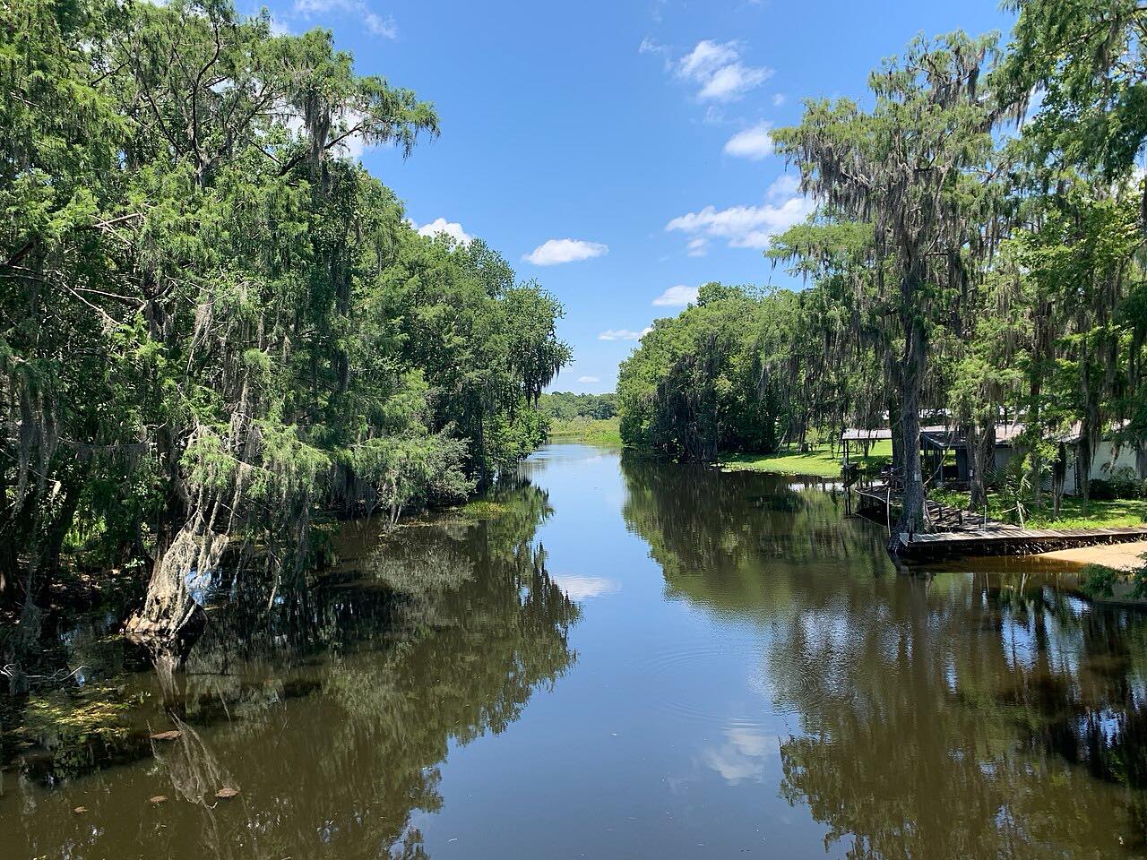
SR 40 crosses the Ocala National Forest from Silver Springs to the St. Johns River at Astor. This drive starts at Silver Springs, climbs the Bert Dosh Memorial Bridge over the Ocklawaha River, and then runs east for 32.6 miles through sand-pine scrub and forest.
Near the eastern edge of Juniper Springs Recreation Area, SR 40 meets SR 19. Past that junction it crosses into Lake County, passes an overlook and camping area at Wildcat Lake, and ends at the Astor Bridge over the St. Johns River.
The road is flat and mostly straight, a quiet forest drive.
Along the way
- Silver Springs
- Juniper Springs
- Astor (St. Johns River)
Good to know
- Wildlife crosses the road; FDOT has added warning signs between SR 35 and the Astor Bridge.
- Juniper Springs Recreation Area is beside the road near SR 19.
Open all year, weather permitting. Roads close for snow, fire, storms and repairs: before you set off, check Florida 511.
Questions about this drive
How long is the SR 40 drive through Ocala National Forest?
SR 40 from Silver Springs to Astor is 32.6 miles and takes about 35 minutes.
Is SR 40 through the Ocala National Forest twisty?
No. It is Leisurely, flat and mostly straight.
What is on SR 40 in the Ocala National Forest?
It passes Juniper Springs Recreation Area and Wildcat Lake before crossing the St. Johns River at Astor.
What you get in the app
Free on iPhone and Android. CarPlay and Android Auto come with Apex.
More drives near here


Distance, time, elevation, curves and intensity are from Carve's route. Checked 2026-10-28.