
Drives Michigan Michigan's Upper Peninsula
M-28: Marquette to Munising
M 28 · Harvey → Munising

The drive
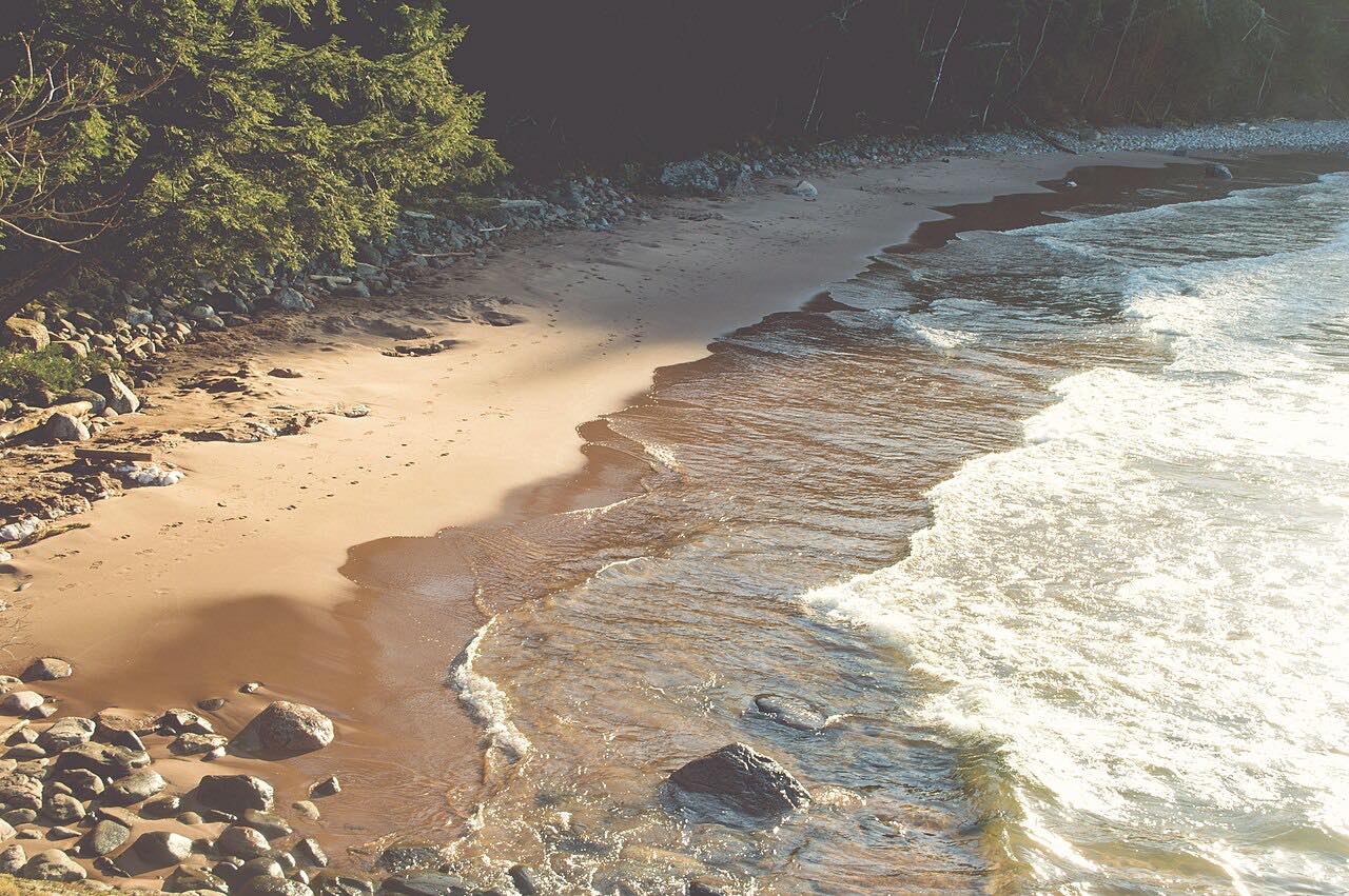
M-28 runs east from the US 41 junction at Harvey, at Marquette's edge, to Munising. Between Marquette and Munising it closely parallels the Lake Superior shoreline, with views of the lake and lonesome sandy beaches.
The highway goes through Au Train, where Scott Falls is in a roadside park just east of the H-01 junction, and crosses into the western unit of the Hiawatha National Forest near there. West of Munising, a ferry dock offers transport to Grand Island National Recreation Area. At Munising, the road gives easy access to Pictured Rocks National Lakeshore.
The drive is 36.9 miles and takes about 40 minutes, and it is rated Leisurely.
Along the way
- Harvey (US-41)
- Au Train
- Munising
Good to know
- Wildfires have burned in Marquette County, northwest of town, so check current conditions before you go.
- For current closures, use MiDrive.
Open all year, weather permitting. Roads close for snow, fire, storms and repairs: before you set off, check MDOT MiDrive.
Questions about this drive
How long does M-28 from Marquette to Munising take?
M-28 from Harvey, at Marquette's edge, to Munising is 36.9 miles and takes about 40 minutes.
Is M-28 on Lake Superior?
Yes. Between Marquette and Munising M-28 closely parallels the Lake Superior shoreline.
How do you get to Grand Island from M-28?
A ferry dock west of Munising offers transport to the Grand Island National Recreation Area.
What you get in the app
Free on iPhone and Android. CarPlay and Android Auto come with Apex.
More drives near here


Distance, time, elevation, curves and intensity are from Carve's route. Checked 2026-10-28.