
Drives New Hampshire New Hampshire's White Mountains and Lakes
Kinsman Notch: Route 112
NH 112, Lost River Road · North Woodstock → NH-116 junction

The drive
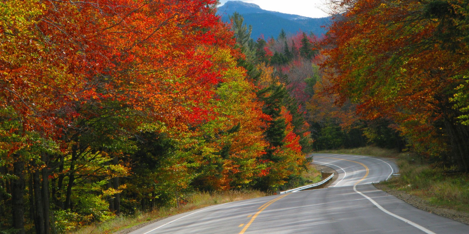
This is the western part of NH 112, the road that becomes the Kancamagus Highway east of Lincoln. The drive heads west from North Woodstock, where NH 112 crosses US 3 and meets I-93, and the stretch between there and NH 116 is called Lost River Road.
The Lost River Reservation, a wild gorge filled with enormous boulders, is nearby, and Beaver Pond sits close to the height of land at about 1,870 feet. The Appalachian Trail crosses the notch between Mount Moosilauke and Kinsman Ridge. The road stays inside the White Mountain National Forest and ends at the NH 116 junction, 11.5 miles from North Woodstock.
Along the way
- North Woodstock (US-3)
- Kinsman Notch
- NH-116 junction
Good to know
- The Appalachian Trail crosses the height of land in the notch.
- NH 116 shares NH 112 for about 0.9 mile in Easton; this drive ends at the junction.
Open all year, weather permitting. Roads close for snow, fire, storms and repairs: before you set off, check New England 511 (New Hampshire).
Questions about this drive
How long does Kinsman Notch take to drive?
Kinsman Notch on NH 112 from North Woodstock to the NH 116 junction is 11.5 miles and takes about 20 minutes.
What is Kinsman Notch?
It is a pass at about 1,870 feet in the White Mountains, crossed by NH 112 and by the Appalachian Trail.
Is the Kancamagus the same road as Kinsman Notch?
They are both NH 112. The Kancamagus Highway is the eastern section from Lincoln to Conway, and the western section from Bath to Lincoln runs through Kinsman Notch and North Woodstock.
What you get in the app
Free on iPhone and Android. CarPlay and Android Auto come with Apex.
More drives near here


Distance, time, elevation, curves and intensity are from Carve's route. Checked 2026-10-28.