
Drives Pennsylvania The Pennsylvania Wilds and Northern Tier
Bucktail Trail: Highway 120
PA 120 · Lock Haven → Emporium

The drive
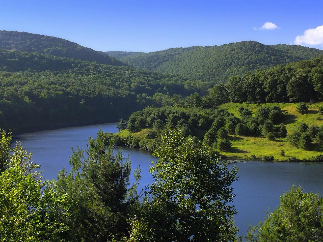
PA 120 is the Bucktail Trail Scenic Byway, a Pennsylvania Scenic Byway that follows the Bucktail State Park Natural Area through much of Cameron and Clinton counties. This drive runs upstream from Lock Haven along the West Branch Susquehanna River, then along Sinnemahoning Creek to Emporium.
The park runs about 75 miles from Emporium to Lock Haven and is named for the Pennsylvania Bucktails Regiment of the Civil War. Established by the state legislature in 1933, it covers 21,039 acres and is primarily dedicated to wildlife viewing, especially elk.
The route follows the Sinnemahoning Path, a Native American trail across the Allegheny Front that pioneers also used. Along the way it passes Renovo and Driftwood.
Along the way
- Lock Haven
- Renovo
- Sinnemahoning
- Driftwood
- Emporium
Good to know
- Watch for wildlife; the natural area is primarily dedicated to wildlife viewing, especially elk.
- Check 511PA for closures before you go.
Open all year, weather permitting. Roads close for snow, fire, storms and repairs: before you set off, check 511PA (PennDOT road conditions and closures).
Questions about this drive
How long does the Bucktail Trail (PA 120) take?
PA 120 from Lock Haven to Emporium is 70.8 miles on this route and takes about 1 hr 35 min.
Why is PA 120 called the Bucktail Trail?
The Bucktail State Park Natural Area, which the road follows, is named for the Pennsylvania Bucktails Regiment of the Civil War. The route was also known as the Bucktail Trail.
Where does Bucktail Trail: Highway 120 start and end?
This drive starts at Lock Haven and ends at Emporium, 70.8 miles in all.
What you get in the app
Free on iPhone and Android. CarPlay and Android Auto come with Apex.
More drives near here



Distance, time, elevation, curves and intensity are from Carve's route. Checked 2026-10-28.