
Drives Florida Miami, the Everglades, the Keys and Southwest Florida
A1A: Hutchinson Island
A1A, Ocean Drive, Ocean Boulevard · Fort Pierce Inlet → Jensen Beach

The drive
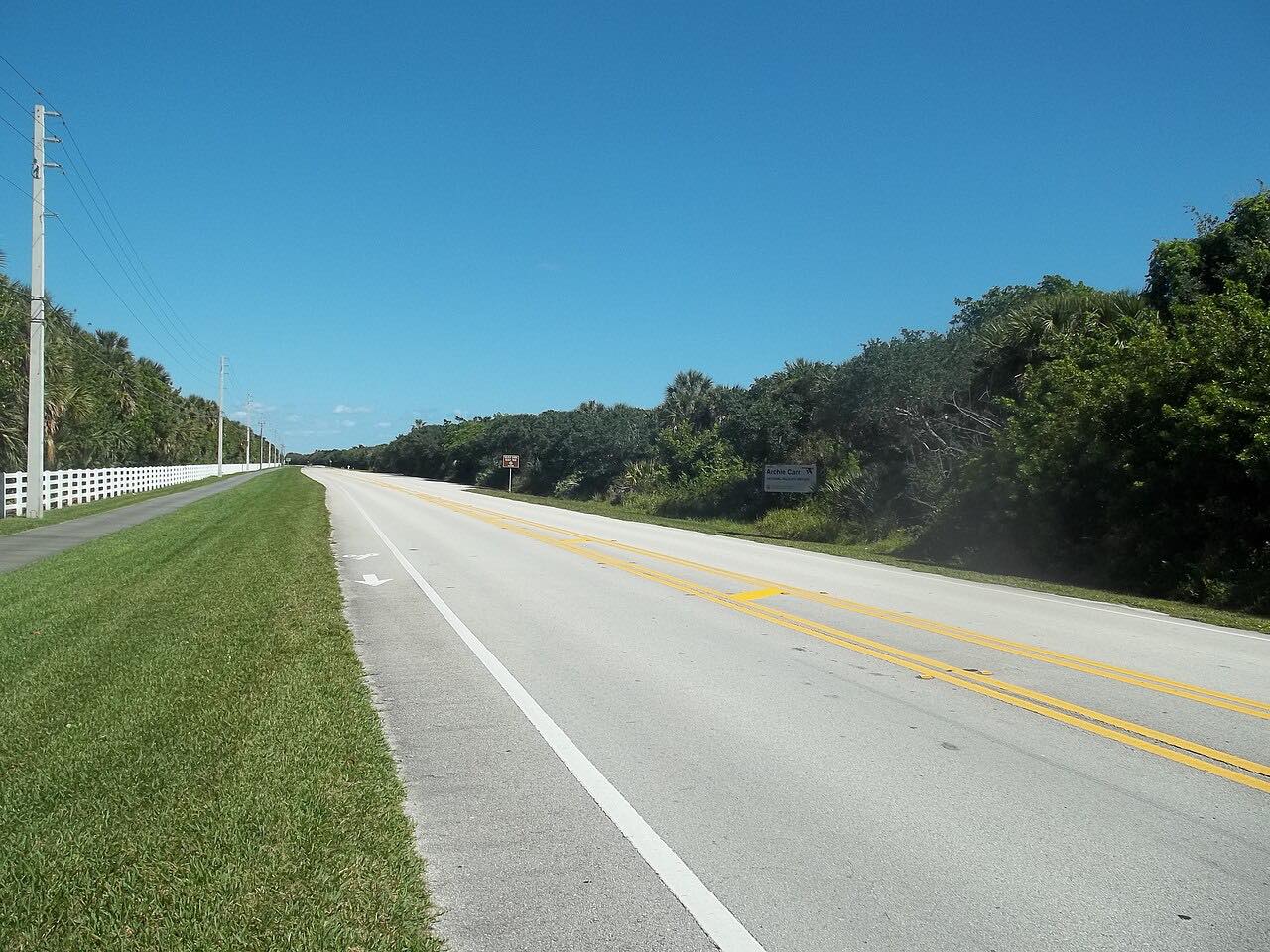
Hutchinson Island is a long barrier island, and A1A is its main north-south road. This drive starts at Fort Pierce Inlet and runs south through St. Lucie County, where the road is called South Ocean Drive, and into Martin County, where it becomes Northeast Ocean Boulevard, ending at Jensen Beach. The Atlantic is on one side and the Indian River Lagoon on the other.
It is a flat drive, 16 miles in about 25 minutes. Public beaches line the way, among them Jensen Sea Turtle Public Beach at the south end of this drive, where SR 732, the causeway from Jensen Beach on the mainland, meets A1A at a traffic circle.
The Indian River Drive on the mainland side is a separate drive; this one stays on the island.
Along the way
- Fort Pierce Inlet
- Jensen Beach
Good to know
- Jensen Beach is where the SR 732 causeway joins A1A, so traffic turns on and off at the traffic circle there.
- The road changes names at the county line: South Ocean Drive in St. Lucie County, Northeast Ocean Boulevard in Martin County.
Open all year, weather permitting. Roads close for snow, fire, storms and repairs: before you set off, check Florida 511.
Questions about this drive
How long does A1A on Hutchinson Island take?
A1A from Fort Pierce Inlet to Jensen Beach is 16 miles and takes about 25 minutes.
What is A1A called on Hutchinson Island?
In St. Lucie County, A1A on Hutchinson Island is South Ocean Drive; in Martin County it is Northeast Ocean Boulevard.
Is A1A on Hutchinson Island twisty?
No. It is a flat, mostly straight oceanfront road. The draw is the island itself, with the Atlantic on one side and the Indian River Lagoon on the other.
Where does the A1A Hutchinson Island drive end?
It ends at Jensen Beach, where SR 732 from the mainland meets A1A at a traffic circle near Jensen Sea Turtle Public Beach.
What you get in the app
Free on iPhone and Android. CarPlay and Android Auto come with Apex.
More drives near here



Distance, time, elevation, curves and intensity are from Carve's route. Checked 2026-10-28.