
The drive
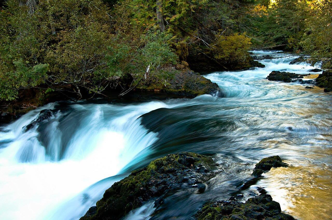
OR 126 follows the McKenzie River upstream from Blue River past McKenzie Bridge and Belknap Springs, then north beside the river's lava-walled upper reach past Koosah and Sahalie falls and Clear Lake, ending at US 20. It's 30.7 miles in about 35 minutes.
The curves are sweeping, through old Douglas fir. The drive crosses the start of McKenzie Pass (OR 242) and the end of the Aufderheide without using either road.
Along the way
- Blue River
- Belknap Springs
- Clear Lake
- US-20
Good to know
- Check TripCheck for work zones west of Blue River.
- Check TripCheck for work zones west of Blue River, outside this drive.
Open all year, weather permitting. Roads close for snow, fire, storms and repairs: before you set off, check ODOT TripCheck: road conditions.
Questions about this drive
How long does the McKenzie Highway take?
OR 126 from Blue River to US 20 is 30.7 miles and takes about 35 minutes.
Is the McKenzie Highway twisty?
It has sweeping curves along the river but is rated Leisurely.
What you get in the app
Free on iPhone and Android. CarPlay and Android Auto come with Apex.
More drives near here



Distance, time, elevation, curves and intensity are from Carve's route. Checked 2026-10-28.