
Drives New Mexico Santa Fe, Taos and Northern New Mexico
Enchanted Circle
US 64, NM 38 · Taos → Questa

The drive
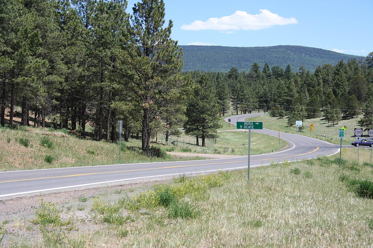
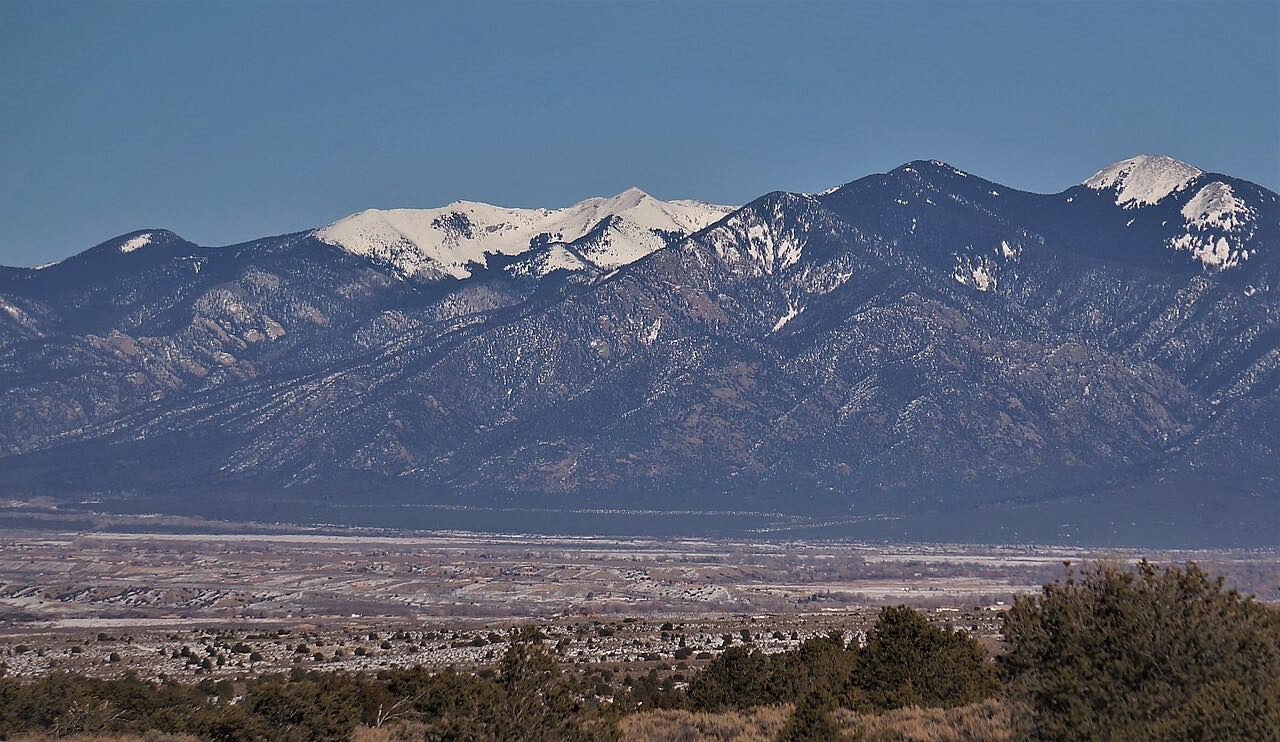
The Enchanted Circle is an 84-mile loop around Wheeler Peak, the tallest mountain in New Mexico at 13,161 feet. This drive covers most of it counterclockwise from Taos: US 64 over Palo Flechado Pass (9,101 feet) to Eagle Nest, then NM 38 over Bobcat Pass (9,820 feet) to Red River and down to Questa. NM 522 from Questa back to Taos completes the circle.
Eagle Nest sits at about 8,216 feet at the north end of Eagle Nest Lake, in the Moreno Valley. NM 38 runs 29.3 miles from Eagle Nest to Questa through the Sangre de Cristo Mountains and Carson National Forest. Red River, at about 8,688 feet, grew from nearby Elizabethtown gold mining in the late 1800s and is now a ski town.
The drive is 59.3 miles and takes about 1 hr 40 min, with 4,300 feet of climb and a high point of 9,800 feet.
Along the way
- Taos (Kit Carson Road)
- Eagle Nest
- Red River
- Questa (NM-522)
Good to know
- Both Palo Flechado Pass and Bobcat Pass are above 9,000 feet.
- The loop's other towns include Angel Fire, reached by NM 434 from Eagle Nest.
- Check NMRoads for current conditions and work zones before you go.
Open all year, weather permitting. Roads close for snow, fire, storms and repairs: before you set off, check NMRoads (New Mexico DOT road conditions).
Questions about this drive
How long does the Enchanted Circle take to drive?
The Enchanted Circle from Taos over Palo Flechado Pass and Bobcat Pass to Questa is 59.3 miles and takes about 1 hr 40 min. The full loop is about 84 miles.
How high is Bobcat Pass on the Enchanted Circle?
Bobcat Pass on NM 38 is 9,820 feet, and Palo Flechado Pass on US 64 is 9,101 feet.
Which highways make up the Enchanted Circle?
US 64 from Eagle Nest to Taos, NM 522 from Taos to Questa, NM 38 from Questa through Red River to Eagle Nest, and NM 434 from Eagle Nest to Angel Fire.
Which way do you drive the Enchanted Circle?
This drive goes counterclockwise from Taos on US 64, ending at Questa; NM 522 from Questa returns to Taos.
What you get in the app
Free on iPhone and Android. CarPlay and Android Auto come with Apex.
More drives near here



Distance, time, elevation, curves and intensity are from Carve's route. Checked 2026-10-28.