Drives Tennessee Nashville, Kentucky and the Cumberlands
Natchez Trace Parkway: Franklin to Hohenwald
Highland Rim, Tennessee · Highway 96 ramp → Meriwether Lewis site

The drive
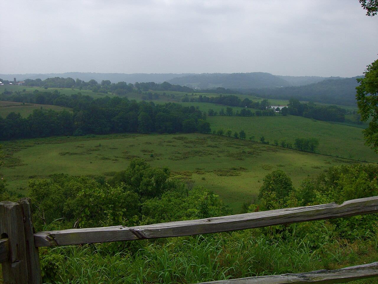
The Natchez Trace Parkway runs south from the Nashville area through the Highland Rim. This drive covers 50.1 miles in Tennessee, from the Highway 96 end near Franklin past Leipers Fork, Jackson Falls and Baker Bluff to the Meriwether Lewis site at milepost 385.9, where Lewis died at Grinder's Stand on October 11, 1809.
NPS lists two standout waterfalls on the parkway in Tennessee: Jackson Falls at milepost 404.7 and Fall Hollow at milepost 391.9. The route is Leisurely, with one twisty stretch, and the parkway has a 50 mph limit unless posted otherwise. The Highland Rim corridor of the Natchez Trace National Scenic Trail runs alongside for about 20 miles, from milepost 427.4 to 407.9.
Along the way
- Highway 96 ramp (milepost 437)
- Leipers Fork
- Meriwether Lewis site (Highway 20)
Good to know
- Commercial vehicles are prohibited on the parkway.
- The parkway has no gas, food or lodging; those are in nearby communities.
- Lanes are 11 feet wide with little to no shoulder, and it is a designated bicycling route.
Open all year, weather permitting. Roads close for snow, fire, storms and repairs: before you set off, check Natchez Trace Parkway: road and site status.
Questions about this drive
How long does the Natchez Trace Parkway in Tennessee take to drive?
This 50.1-mile stretch from Highway 96 to the Meriwether Lewis site takes about 1 hr 5 min.
Is the Natchez Trace Parkway closed near Franklin?
It can be. Construction at the Double Arch Bridge, between milepost 437 and 440 near Franklin, has closed the parkway, with an NPS detour via Highways 96 and 100. Check the road and site status page before you go.
What is the speed limit on the Natchez Trace Parkway?
The NPS regulation sets 50 mph unless posted otherwise, and 30 mph where construction signs are posted.
Are trucks allowed on the Natchez Trace Parkway?
No. The NPS says commercial vehicles are prohibited on the parkway.
What you get in the app
Free on iPhone and Android. CarPlay and Android Auto come with Apex.
More drives near here

Distance, time, elevation, curves and intensity are from Carve's route. Checked 2026-10-28.