

The drive
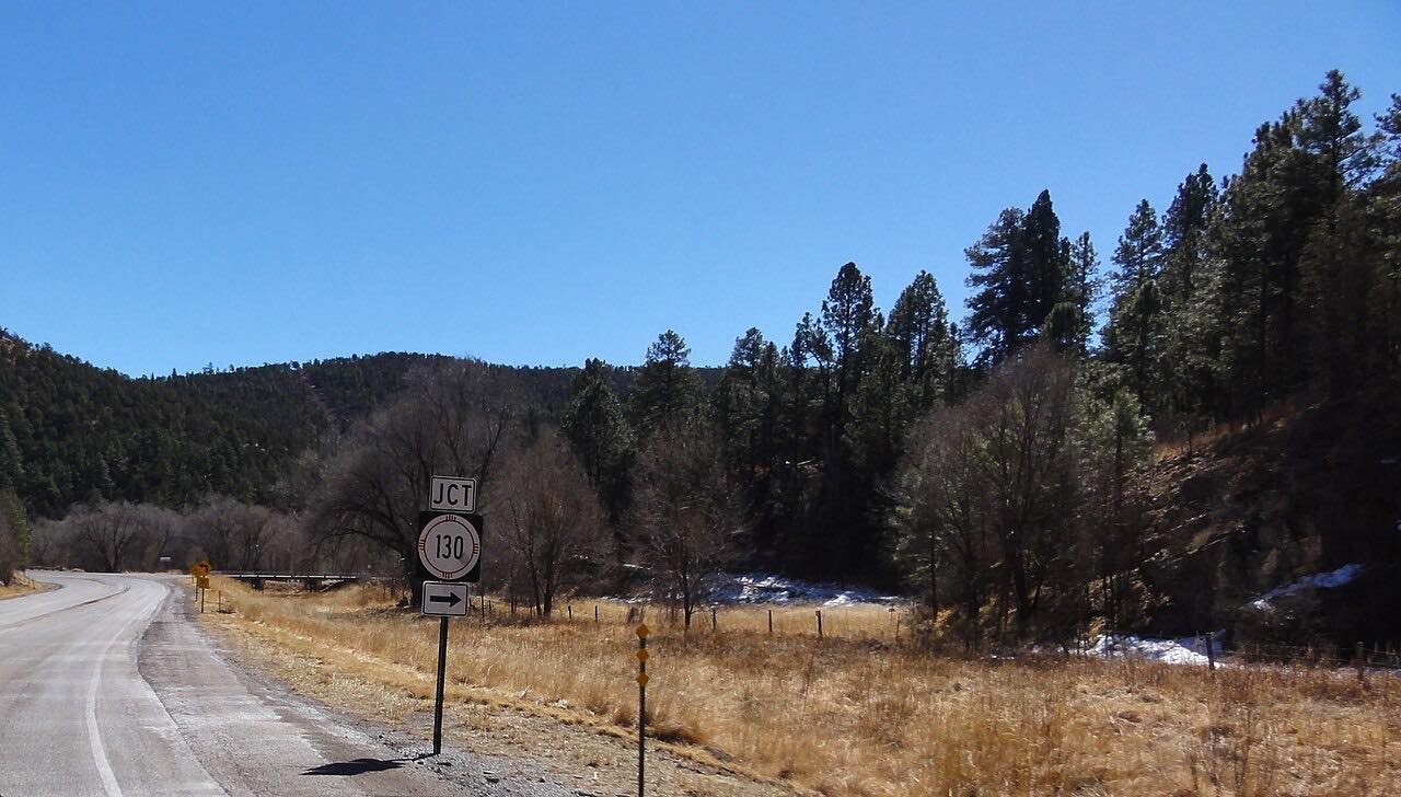
NM 532, also called Ski Run Road, is a paved and maintained mountain road that climbs from Alto to Ski Apache. Ski Apache's own directions warn of steep grades, sharp curves and elevation changes on the approach.
The road ends at the ski area, so the way back is the same road. Ski Apache puts the resort about 17 miles from Ruidoso.
Along the way
- Alto (NM-48)
- Ski Apache
Good to know
- For winter, Ski Apache advises winter tires and snow chains, and keeping the gas tank at least half full.
- Ski Apache says it monitors the road regularly in winter and recommends checking NMDOT and the New Mexico Road Advisory System.
Open all year, weather permitting. Roads close for snow, fire, storms and repairs: before you set off, check NMRoads (NMDOT road conditions).
Questions about this drive
How long does the Ski Apache road take?
NM 532 from Alto to Ski Apache is 11.4 miles and takes about 30 min.
Do I need chains on the road to Ski Apache?
Ski Apache advises winter tires and snow chains in winter and recommends checking road conditions before driving.
Where does Ski Apache Road start and end?
This drive starts at Alto (NM-48) and ends at Ski Apache, 11.4 miles in all.
What you get in the app
Free on iPhone and Android. CarPlay and Android Auto come with Apex.
More drives near here



Distance, time, elevation, curves and intensity are from Carve's route. Checked 2026-10-28.