Drives California Gold Country and Tahoe
Mormon Emigrant Trail
Mormon Emigrant Trail · Sly Park → Highway 88

The drive
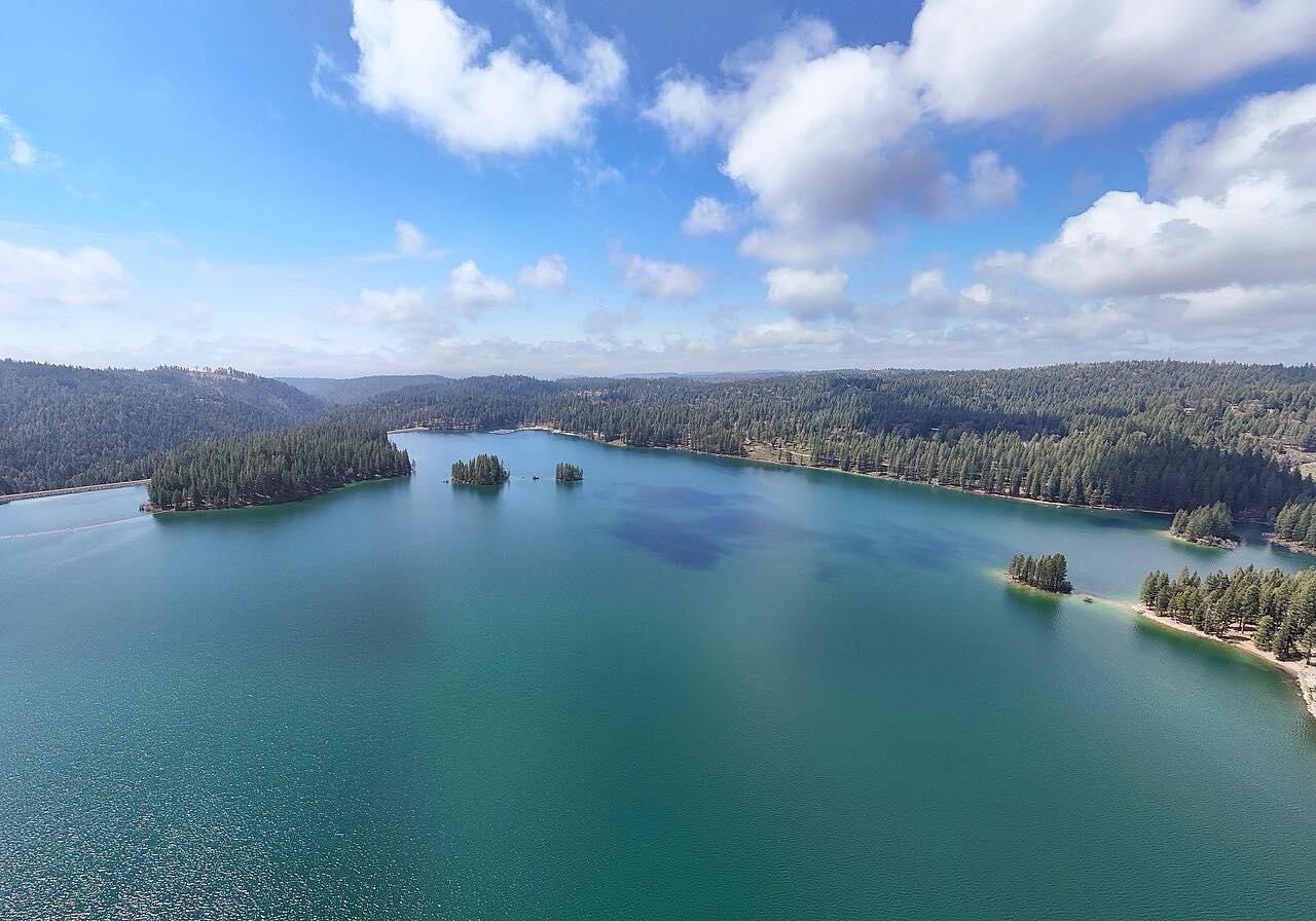
The Mormon Emigrant Trail is a paved Forest Service road, 10N50, that climbs 24 miles from Jenkinson Lake at Sly Park to Highway 88. It roughly follows the route of the Mormon emigrants of 1848, who opened the Carson Trail over the Sierra. The road gains about 5,200 feet along a forested ridge, topping out near 7,500 feet.
It is two lanes, sweeping rather than tight, with two short twisty stretches near each end. There is very little traffic and no services along it. A gate near the Iron Mountain Sno-Park closes the top for winter, and the road ends just short of Highway 88.
Along the way
- Sly Park (Jenkinson Lake)
- Highway 88
Good to know
- Eldorado National Forest closes the road to passenger vehicles whenever snow covers it, and the gate near Iron Mountain Sno-Park shuts for winter.
- There are no services on the road, so bring fuel, water and food.
- Call the Eldorado National Forest at (530) 622-5061 for the gate status in late fall and spring.
Gated when snow covers the top, usually from about November or December into May. Roads close for snow, fire, storms and repairs: before you set off, check Eldorado National Forest: alerts.
Questions about this drive
How long is the Mormon Emigrant Trail drive?
The Mormon Emigrant Trail from Sly Park to Highway 88 is 24 miles and takes about 40 min.
Is the Mormon Emigrant Trail open in winter?
No. Eldorado National Forest closes it to passenger vehicles wherever snow covers the road, and the gate near Iron Mountain Sno-Park shuts for the winter.
Is the Mormon Emigrant Trail paved?
Yes. Forest Road 10N50 is a two-lane paved road for its whole length.
Are there services on the Mormon Emigrant Trail?
No. There are no services along the road, so fill up before leaving Sly Park.
What you get in the app
Free on iPhone and Android. CarPlay and Android Auto come with Apex.
More drives near here


Distance, time, elevation, curves and intensity are from Carve's route. Checked 2026-10-28.