Drives Idaho Boise and Central Idaho
Hells Canyon Road
Forest Road 072 · Oxbow → Hells Canyon Dam

The drive
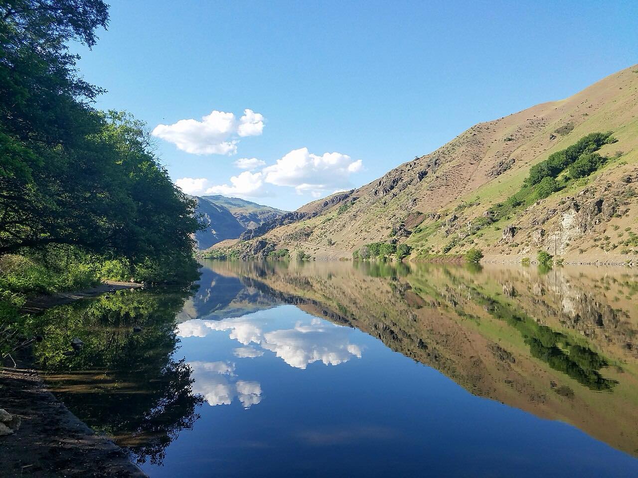
This is the Idaho side of Hells Canyon. From Oxbow, the road crosses the Snake River into Idaho and follows an Idaho Power road about 22 miles down to Hells Canyon Dam. The Forest Service calls it a narrow, steep, paved road along Hells Canyon Reservoir. Visit Idaho says the byway follows the east side of Hells Canyon, North America's deepest river gorge.
The Hells Canyon Creek Visitor Center is about a mile past the dam, at the end of the road. This drive goes to the dam and takes about 55 minutes, and the intensity is Twisty.
Along the way
- Oxbow
- Hells Canyon Dam
Good to know
- The road is narrow and steep, so take it slowly.
- The Forest Service says no fees or passes are required at the visitor center, and there is paved parking for RVs and trailers there.
- The visitor center is seasonal and can be temporarily closed; the outdoor displays are open year-round.
- Idaho Power says visitor center hours depend on staff availability; call 541-785-3395 for current information.
Open all year, weather permitting. Roads close for snow, fire, storms and repairs: before you set off, check Idaho Power: What's open.
Questions about this drive
How long is the road from Oxbow to Hells Canyon Dam?
The Forest Service puts it at about 22 miles. The drive takes about 55 minutes.
Is the Hells Canyon Dam road paved?
Yes. The Forest Service describes it as a narrow, steep, paved road.
Is there a fee to visit Hells Canyon Dam?
The Forest Service says no fees or passes are required at the Hells Canyon Creek Visitor Center.
What you get in the app
Free on iPhone and Android. CarPlay and Android Auto come with Apex.
More drives near here



Distance, time, elevation, curves and intensity are from Carve's route. Checked 2026-10-28.