
The drive
Geiger Grade is the stretch of Nevada State Route 341 that links the Reno area with Virginia City. Davison Geiger and John Tilton built the original road as a toll road in 1862. It was a dangerous but heavily traveled route, the most direct link between the Comstock Lode and Reno, and a paved alignment replaced it in 1936.
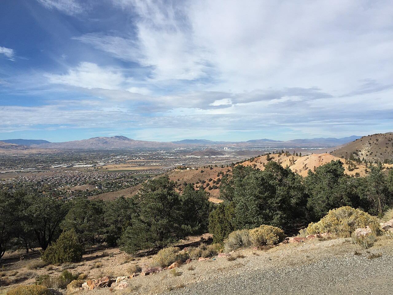
Today the drive climbs 13.4 miles from US 395 in Reno to C Street in Virginia City in about 25 minutes. It is twisty most of the way. The road winds over Geiger Summit, and a lookout along the grade gives a panoramic view toward Reno.
Along the way
- Reno (US-395)
- Virginia City (C Street)
Good to know
- Check Nevada 511 before you go in winter; its map shows road conditions and chain requirements.
- The old stagecoach alignment differs from the modern road in places.
Open all year, weather permitting. Roads close for snow, fire, storms and repairs: before you set off, check Nevada 511: road conditions.
Questions about this drive
How long does the Geiger Grade take?
Geiger Grade from Reno to Virginia City is 13.4 miles and takes about 25 minutes.
How twisty is the Geiger Grade?
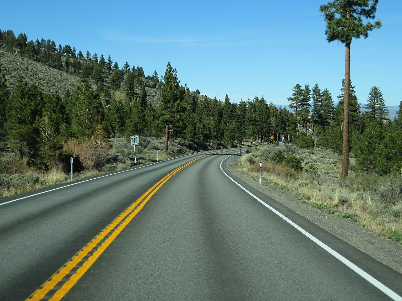
Twisty most of the way. State Route 341 winds over Geiger Summit between Reno and Virginia City.
Who built the Geiger Grade?
Davison Geiger and John Tilton built it as a toll road in 1862, and the paved road replaced it in 1936.
What you get in the app
Free on iPhone and Android. CarPlay and Android Auto come with Apex.
More drives near here


Distance, time, elevation, curves and intensity are from Carve's route. Checked 2026-10-28.