
Drives Utah Zion, Bryce and Southwest Utah
Old Highway 91 and Gunlock Road
Old Highway 91, FA 3184 · Santa Clara → Veyo

The drive
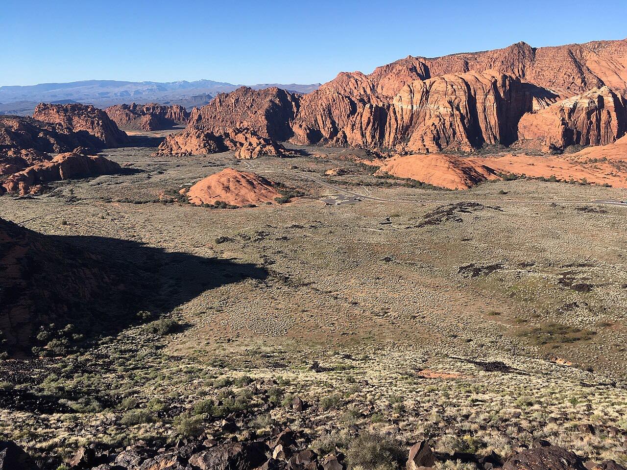
Old Highway 91 and Gunlock Road climb from Santa Clara up the Santa Clara River canyon to Gunlock, then cross the hills north to Veyo, about 22 miles of curves through red rock and desert country. It is lightly travelled, and the bends are sweeping rather than tight.
The road passes Gunlock Reservoir, which sits in Gunlock State Park about 15 miles northwest of St. George. The dam was built in 1970 for irrigation and flood control. Sandstone cliffs line the road beside the reservoir. The county road to the park follows the Old Spanish Trail, used between Santa Fe and Los Angeles from the 1820s to 1849, and the town of Gunlock takes its name from William "Gunlock Will" Hamblin, who settled the area in 1857.
The drive ends on West Center Street in Veyo, a short distance from Highway 18. Veyo Pies is the town's well-known stop.
Along the way
- Santa Clara (Old Highway 91)
- Old Highway 91 at Gunlock Road
- Gunlock
- Veyo (West Center Street)
Good to know
- The Gunlock State Park spur to the dam and reservoir is off the through road; the park charges a fee.
- Cyclists ride this road, so expect them on the curves.
Open all year, weather permitting. Roads close for snow, fire, storms and repairs: before you set off, check Gunlock State Park (Utah State Parks).
Questions about this drive
How long does Old Highway 91 and Gunlock Road take?
Old Highway 91 and Gunlock Road from Santa Clara to Veyo is 22 miles and takes about 45 minutes.
Is Old Highway 91 to Gunlock twisty?
It has sweeping curves through red rock canyon country, rated Sweeping rather than tight.
Where is Gunlock State Park?
Gunlock State Park is about 15 miles northwest of St. George, on Gunlock Road beside Gunlock Reservoir.
Where does the drive end?
The drive ends on West Center Street in Veyo, a short distance from Highway 18.
What you get in the app
Free on iPhone and Android. CarPlay and Android Auto come with Apex.
More drives near here


Distance, time, elevation, curves and intensity are from Carve's route. Checked 2026-10-28.