Drives Nevada Reno, Carson City and Lake Tahoe
Mount Rose Highway
NV 431 · Reno → Incline Village

The drive
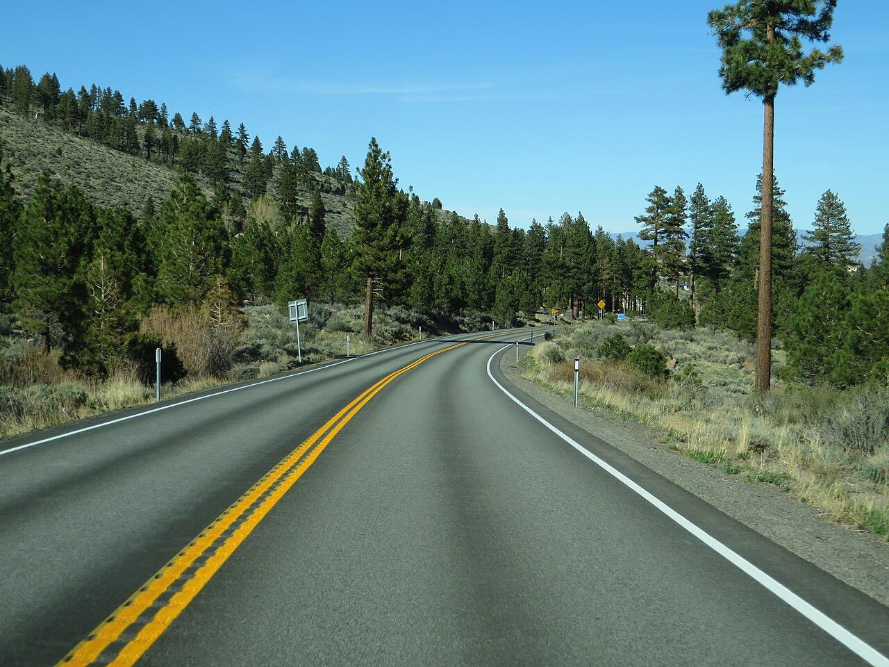
The Mount Rose Highway, Nevada State Route 431, climbs the Carson Range from the Reno area to Incline Village at Lake Tahoe. It crests at Mount Rose Summit, 8,911 feet. The Nevada Department of Transportation has called it the highest summit open year-round in the Sierra Nevada.
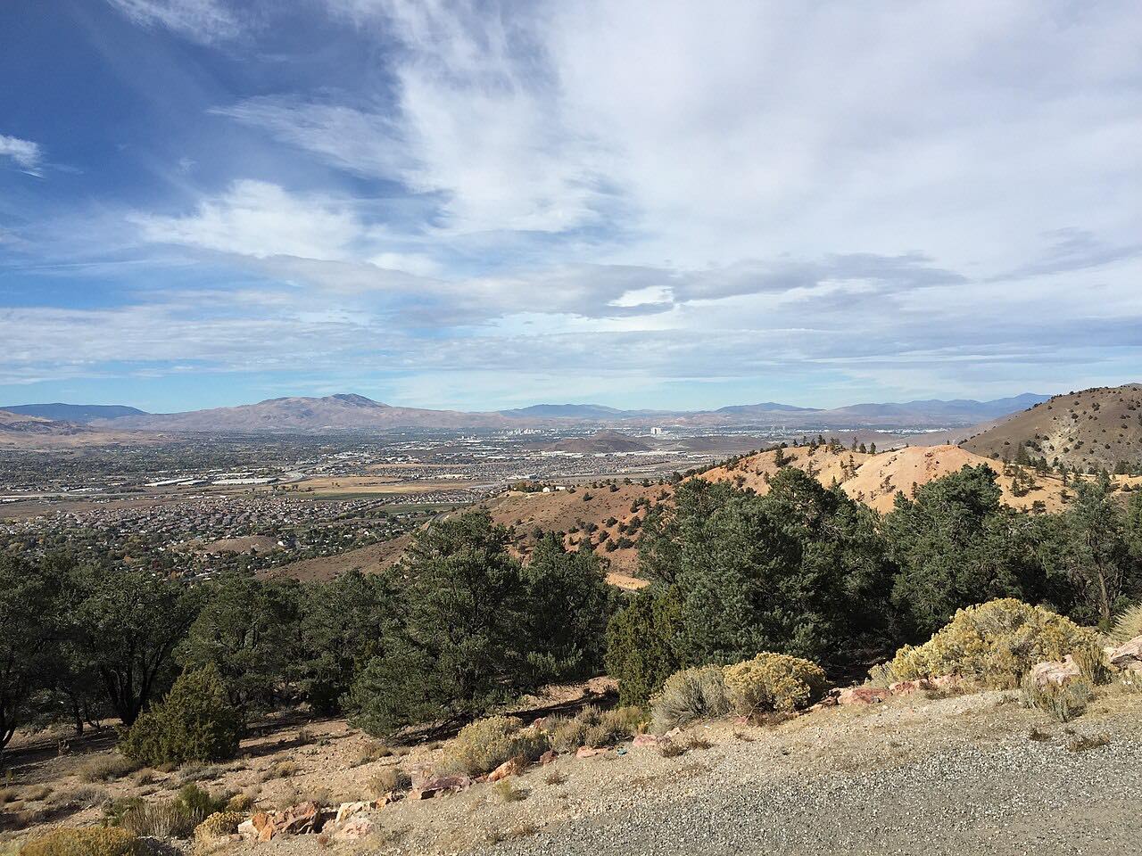
There are hairpin curves on both approaches to the summit. A view area on the west side has directional markers to Sierra peaks around Lake Tahoe, and overlooks on the east side look out over Reno and Washoe Valley. About 20 miles of the road were designated a Nevada Scenic Byway in 1996. This drive runs 20.5 miles in about 30 minutes with mostly gentle curves and two twisty stretches, and it ends at NV-28 in Incline Village.
Along the way
- Reno (Thomas Creek Road)
- Mount Rose Summit
- Tahoe Meadows
- Incline Village (NV-28)
Good to know
- Check Nevada 511 in winter; its map shows road conditions and chain requirements.
- The road serves the Mount Rose Ski Area on the Reno side.
Open all year, weather permitting. Roads close for snow, fire, storms and repairs: before you set off, check Nevada 511: road conditions.
Questions about this drive
How high is the Mount Rose Highway?
The Mount Rose Highway crests at Mount Rose Summit, 8,911 feet.
How long does the Mount Rose Highway take?
The Mount Rose Highway from Reno to Incline Village is 20.5 miles and takes about 30 minutes.
Is the Mount Rose Highway open in winter?
The Nevada Department of Transportation has called it the highest summit open year-round in the Sierra Nevada. Nevada 511 shows current conditions and chain requirements.
What you get in the app
Free on iPhone and Android. CarPlay and Android Auto come with Apex.
More drives near here


Distance, time, elevation, curves and intensity are from Carve's route. Checked 2026-10-28.