
Drives Ontario Toronto, Niagara and Southern Ontario
Highway 41: Kaladar to Denbigh
Highway 41 · Kaladar → Denbigh

The drive
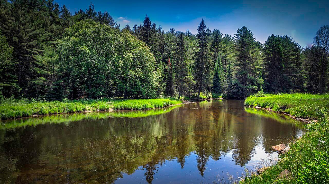
Highway 41 starts at Highway 7 in Kaladar and heads north, climbing Kaladar Hill into swampy, heavily forested Canadian Shield country. For much of its length it follows the old Addington Colonization Road, surveyed in the 1840s and built north through the 1850s.
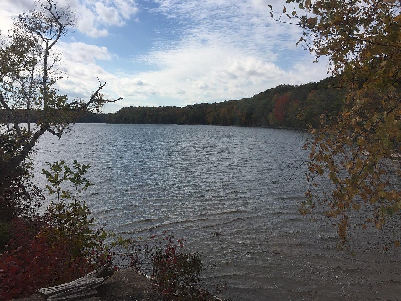
Near the middle the highway meets the southern tip of Mazinaw Lake and runs along its western shore into Bon Echo Provincial Park. Mazinaw Rock there is a granite cliff about 100 meters high, covered in more than 260 Indigenous pictographs. North of the park the road continues along the lake and the Mississippi River to Mackavoy Lake, where the river begins.
The 37 miles take about 40 minutes and end at Denbigh. The bends are long and sweeping, with rock cuts and lakes, rather than tight.
Along the way
- Kaladar (Highway 7)
- Bon Echo (Mazinaw Lake)
- Denbigh
Good to know
- The highway is free to drive, but stopping at Bon Echo Provincial Park is a day-use visit with park fees. Day use is seasonal, so check the park's dates before you go.
- Mazinaw Rock is inside the park, off the highway.
- Allow extra time in summer for traffic near the park.
Open all year, weather permitting. Roads close for snow, fire, storms and repairs: before you set off, check Ontario 511.
Questions about this drive
How long does Highway 41 from Kaladar to Denbigh take?
Highway 41 from Kaladar to Denbigh is 37.4 miles and takes about 40 minutes.
Does Highway 41 go through Bon Echo Provincial Park?
Highway 41 passes along Mazinaw Lake and through Bon Echo Provincial Park, at 16151 Highway 41. Stopping in the park is a day-use visit with fees.
Is Highway 41 a twisty road?
No. It is rated Leisurely, with long sweeping bends through lakes and Canadian Shield rock.
What you get in the app
Free on iPhone and Android. CarPlay and Android Auto come with Apex.
More drives near here

Distance, time, elevation, curves and intensity are from Carve's route. Checked 2026-10-28.