
Drives Wyoming Jackson Hole, Grand Teton and Yellowstone
Togwotee Pass: Dubois to Moran
US 26, US 287 · Dubois → Moran Junction

The drive
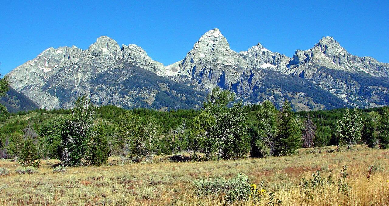
US 26/287 climbs west from Dubois up the Wind River valley and over Togwotee Pass, at about 9,650 feet, then descends toward Moran Junction. The Teton Range comes into view ahead from the western slopes of the pass.
It is 53.5 miles and about an hour, with mostly gentle curves and 3,500 feet of climb. Togwotee Pass is the most direct route to Grand Teton National Park from eastern Wyoming.
The pass is one of Wyoming's snowiest. Annual snowfall often exceeds 25 feet, and blizzards can shut the road for days.
Along the way
- Dubois
- Togwotee Pass
- Moran Junction
Good to know
- Winter storms can close the road, so check WYDOT before crossing in snow season.
- Wildlife can linger near park roads near Moran; drive slowly.
Open all year, weather permitting. Roads close for snow, fire, storms and repairs: before you set off, check WYDOT road closures and conditions.
Questions about this drive
How long does Togwotee Pass take to drive?
Dubois to Moran Junction over Togwotee Pass is 53.5 miles and takes about an hour.
How high is Togwotee Pass?
Togwotee Pass is about 9,650 feet, between Dubois and Moran Junction.
Can Togwotee Pass close in winter?
Yes. The pass gets heavy snow, often more than 25 feet a year, and blizzards can close the road for days.
Where does Togwotee Pass lead?
It leads to Moran Junction and Grand Teton National Park, the most direct route there from eastern Wyoming.
What you get in the app
Free on iPhone and Android. CarPlay and Android Auto come with Apex.
More drives near here


Distance, time, elevation, curves and intensity are from Carve's route. Checked 2026-10-28.