Drives Alaska Anchorage, the Kenai and Southcentral Alaska
Seward Highway: Turnagain Arm
Seward Highway, AK 1 · Potter → Portage

The drive
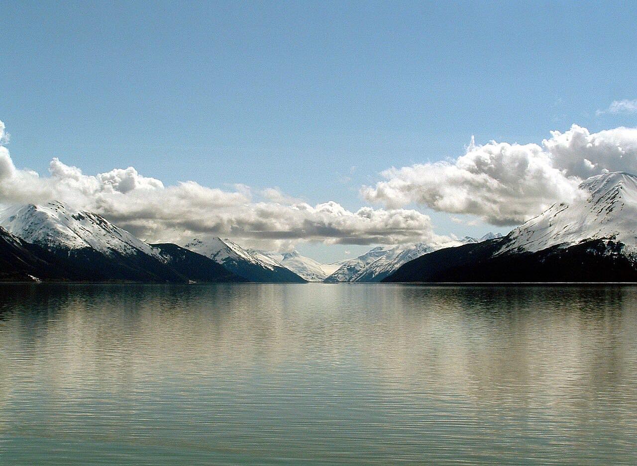
The Seward Highway follows Turnagain Arm from south Anchorage to Portage, along the southern edge of Chugach State Park. Mountains of 5,000 to 6,000 feet rise on both sides, and the Alaska Railroad runs along the arm.
Tides on Turnagain Arm reach up to 40 feet, among the largest in the United States, and the incoming tide can arrive as a bore wave up to about 6 feet high. Dall sheep are among the notable wildlife of the area. The highway has been an All-American Road since 2000.
Girdwood lies along the route, and Portage, at the head of the arm, was destroyed in the 1964 earthquake.
Along the way
- Potter (south Anchorage)
- Beluga Point
- Girdwood (Alyeska Highway)
- Portage
Good to know
- Stay off the mudflats; the Turnagain Arm page warns they are quicksand-like.
- Alaska DOT has a Windy Corner safety project planned for mileposts 105 to 107; check 511 for any work.
Open all year, weather permitting. Roads close for snow, fire, storms and repairs: before you set off, check Alaska 511 road conditions.
Questions about this drive
How long does the Seward Highway along Turnagain Arm take?
The Seward Highway from Potter to Portage is 34.6 miles and takes about 40 minutes without stops.
Is the Seward Highway along Turnagain Arm twisty?
No. It is rated Leisurely, with mostly gentle curves.
What is the bore tide on Turnagain Arm?
The flood tide often arrives as a wave up to about 6 feet high. Tides on the arm reach up to 40 feet.
What you get in the app
Free on iPhone and Android. CarPlay and Android Auto come with Apex.
More drives near here


Distance, time, elevation, curves and intensity are from Carve's route. Checked 2026-10-28.