
Drives North Carolina Boone, Blowing Rock and the High Country
Highway 181: Morganton to Pineola
NC 181, Jonas Ridge Highway · Morganton → Pineola

The drive
NC 181 starts at the north edge of Morganton and spends its first 12 miles or so as an ordinary two-lane back road past homes and shrub farms. Then it starts to climb. From Brown Mountain Beach Road the highway gains the ridge through Pisgah National Forest over about 13 miles, with many curves, some tight enough to carry speed warnings.
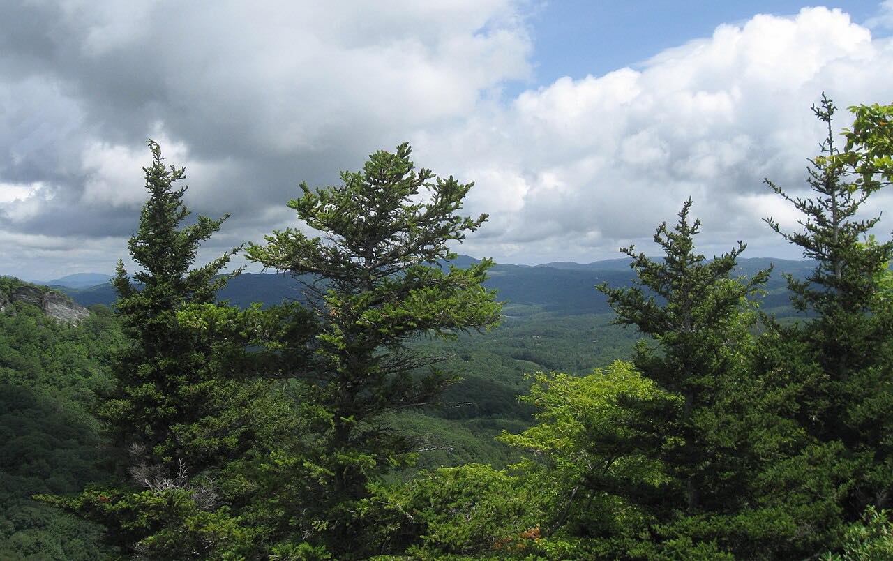
Brown Mountain Overlook, where local stories of phantom lights come from, is on the climb. After Jonas Ridge the road runs beside the Blue Ridge Parkway for about a mile and then crosses it. The drive is 27.5 miles and takes about 40 minutes, ending near Pineola short of US 221.
Along the way
- Morganton
- Jonas Ridge
- Pineola (US-221)
Good to know
- Cyclists and motorcyclists are common on nice days, and much of the road is a state bike route with wider paved shoulders.
- The climb has passing lanes, five uphill and two downhill.
- NC 181 overlaps the Pisgah Loop Scenic Byway, and the NC 183 junction near Jonas Ridge leads to the Linville Gorge Wilderness.
Open all year, weather permitting. Roads close for snow, fire, storms and repairs: before you set off, check NCDOT DriveNC: traffic and road conditions.
Questions about this drive
How long does NC 181 from Morganton to Pineola take?
NC 181 from Morganton to Pineola is 27.5 miles and takes about 40 minutes.
How twisty is NC 181 up to Jonas Ridge?
The first 12 miles out of Morganton are a regular two-lane road. The 13-mile climb through Pisgah National Forest has many curves, some with speed warnings.
What you get in the app
Free on iPhone and Android. CarPlay and Android Auto come with Apex.
More drives near here




Distance, time, elevation, curves and intensity are from Carve's route. Checked 2026-10-28.