Drives Canterbury, New Zealand Canterbury and Christchurch
Mount Cook Road: SH80
SH 80, SH 8, Mount Cook Road · Twizel → Mount Cook Village

The drive
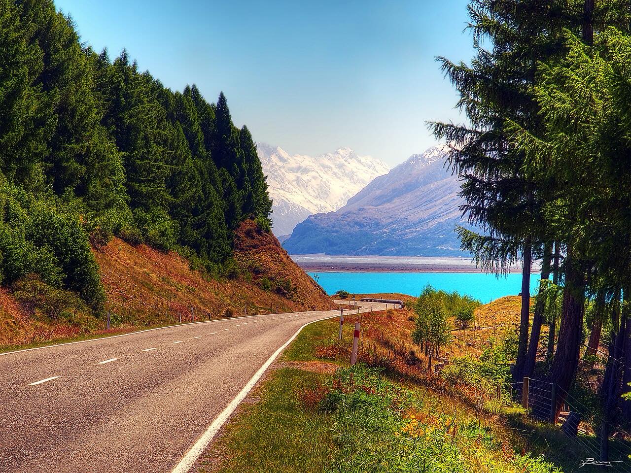
The road to Mount Cook Village runs from Twizel up the Mackenzie Basin to the foot of Aoraki Mount Cook, 63 km (39 mi). It starts on State Highway 8 and turns onto State Highway 80 at Lake Pukaki. From there SH80 runs beside the lake for much of the way with the Ben Ohau Range across the water.
The road is gently curved and not demanding; the setting does the work. Lake Pukaki lies on the right, and the mountains close in as the road passes the head of the lake and follows the Tasman River. The drive ends at Mount Cook Village and takes about 45 minutes.
SH80 is a dead end, so the way back is the same road.
Along the way
- Twizel
- Mount Cook Village
Good to know
- SH80 is mostly two lanes with a few single-lane bridges; give way where signed.
- It is a dead end at Mount Cook Village; plan to return the same way.
- Snow and ice can close the road briefly in winter.
Open all year, weather permitting. Roads close for snow, fire, storms and repairs: before you set off, check NZTA Journey Planner: highway conditions.
Questions about this drive
How long does Twizel to Mount Cook Village take on SH80?
Twizel to Mount Cook Village is 63 km (39 mi) and takes about 45 minutes.
Is the Mount Cook Road sealed?
Yes, SH80 to Mount Cook Village is a sealed state highway, with a few single-lane bridges.
Is the Mount Cook Road open in winter?
Usually, but snow and ice can close it briefly. Check NZTA before going.
Is the Mount Cook Road a dead end?
Yes. SH80 ends at Mount Cook Village, so return along the same road toward Twizel.
What you get in the app
Free on iPhone and Android. CarPlay and Android Auto come with Apex.
More drives near here


Distance, time, elevation, curves and intensity are from Carve's route. Checked 2026-10-28.