
Drives Michigan Michigan's Lower Peninsula
M-22: Frankfort to Empire
M 22, Sutter Road, North Scenic Highway · Frankfort → Empire

The drive
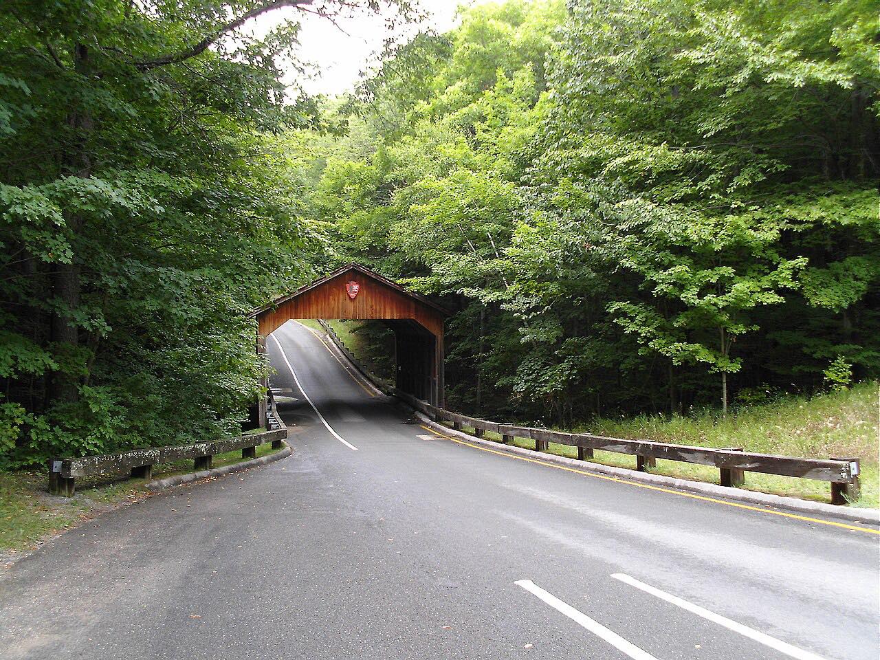
This is M-22 heading north from Frankfort toward Empire along the Lake Michigan shore. The highway passes through Elberta and Frankfort, then turns northeast to curve around the north shore of Crystal Lake. South of the Platte River it enters Sleeping Bear Dunes National Lakeshore. East of Platte Lake it turns north to Empire, the lakeshore's headquarters town. The drive is 21.5 miles and takes about 32 minutes.
It links the Frankfort to Onekama and Leland to Empire drives and runs through wooded stretches with beach access.
Along the way
- Frankfort
- Empire
Good to know
- Summer weekends are busy.
- The road enters Sleeping Bear Dunes National Lakeshore south of the Platte River.
Open all year, weather permitting. Roads close for snow, fire, storms and repairs: before you set off, check MDOT MiDrive.
Questions about this drive
How long is M-22 from Frankfort to Empire?
M-22 from Frankfort to Empire is 21.5 miles and takes about 32 minutes.
Does M-22 go through Sleeping Bear Dunes?
Yes. South of the Platte River, M-22 enters Sleeping Bear Dunes National Lakeshore.
When is M-22 busiest?
Summer weekends are the busiest times.
What you get in the app
Free on iPhone and Android. CarPlay and Android Auto come with Apex.
More drives near here



Distance, time, elevation, curves and intensity are from Carve's route. Checked 2026-10-28.