Drives Northern Territory, Australia The Northern Territory
Kakadu Highway
Kakadu Highway, Arnhem Highway · Pine Creek → Jabiru

The drive
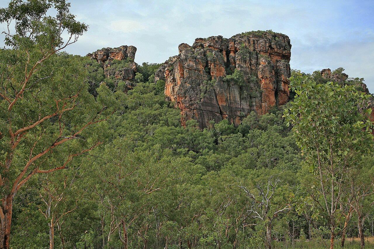
The Kakadu Highway is the long way through the park. It starts at Pine Creek on the Stuart Highway and runs 205 km (128 mi) north-east to the Arnhem Highway and Jabiru, entering Kakadu National Park where it crosses the Mary River. The road is sealed and mostly straight, with gentle bends and low rises, and the park's escarpment, gorges and wetlands sit off to the side rather than on the road.
It is a quiet, remote drive and the main south entrance to Kakadu. Roads to places such as Gunlom and Jim Jim leave it as separate side roads and are not part of this drive. The route ends at Jabiru, where the Bowali Visitor Centre can help with park conditions, and the Arnhem Highway runs west toward Darwin.
Along the way
- Pine Creek
- Jabiru
Good to know
- A Kakadu park pass is needed inside the park; it is valid for 7 days, free for NT residents, and can be bought online or at the Bowali Visitor Centre in Jabiru and Cooinda Lodge.
- Rain and flooding in the tropical summer can make parts of the park inaccessible, so check conditions before you go.
- The Bowali Visitor Centre in Jabiru takes park questions by phone on (08) 8938 1120 during operating hours.
- The Kakadu Access Report lists whether the highway is open and is updated daily.
Open all year, weather permitting. Roads close for snow, fire, storms and repairs: before you set off, check Kakadu Access Report.
Questions about this drive
How long does the Kakadu Highway take to drive?
From Pine Creek to Jabiru, the Kakadu Highway is 205 km (128 mi) and takes about 2 hr 25 min without stops.
Do you need a pass for the Kakadu Highway?
Yes, once you enter Kakadu National Park. A park pass is valid for 7 days, is free for Northern Territory residents and can be bought online or in person at places such as the Bowali Visitor Centre.
Is the Kakadu Highway open in the wet season?
It can depend on the rain. Rain and flooding in the tropical summer can make parts of Kakadu inaccessible, so check the Kakadu Access Report before driving the Kakadu Highway.
Is the Kakadu Highway sealed?
Yes, the Kakadu Highway is sealed from Pine Creek to Jabiru. Side roads to some sites, such as Gunlom and Jim Jim, are not part of this drive.
What you get in the app
Free on iPhone and Android. CarPlay and Android Auto come with Apex.
More drives near here


Distance, time, elevation, curves and intensity are from Carve's route. Checked 2026-10-28.