
Drives California The Central Coast
Grimes Canyon: Highway 23
Walnut Canyon Road, CA 23, Chambersburg Road · Moorpark → Fillmore

The drive
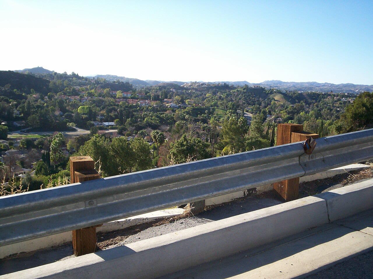
Grimes Canyon Road is the short connection between Moorpark and Fillmore, and it has a reputation. It starts where the Moorpark Freeway ends, as Walnut Canyon Road, and heads north on Highway 23 through farmland and orchards, then climbs gradually to a ridge crest in the Santa Susana Mountains.
The first half is easy and flowing. The tight part comes at the end, where the road drops toward Fillmore in a handful of sharp corners. The drive finishes in town on Chambersburg Road, just short of Highway 126. It is 9.1 miles and takes about 15 minutes.
Highway 23 is a narrow two-lane. The canyon is rugged country, and one road history calls it one of the more treacherous highways in Ventura County, with rock slides in summer and mudslides in the rare wet winter. Coyotes and mountain lions live in the hills on either side.
Along the way
- Moorpark (Walnut Canyon Road)
- Fillmore (Chambersburg Road)
Good to know
- Rockfalls are common in the canyon, and heavy rain can trigger mudslides that close the road.
- The descent into Fillmore has about six tight corners; take them slowly.
- Locals call it Grimes Canyon Road; on the map the first miles are Walnut Canyon Road, and the road is signed as Highway 23.
- Coyotes and mountain lions live in the hills, and the road has a long record of wrecks; keep your speed down.
Open all year, weather permitting. Roads close for snow, fire, storms and repairs: before you set off, check Caltrans District 7.
Questions about this drive
How long does Grimes Canyon Road take to drive?
Highway 23 through Grimes Canyon from Moorpark to Fillmore is 9.1 miles on this route and takes about 15 minutes.
Is Grimes Canyon Road dangerous?
It is a narrow two-lane road with rockfalls and a steep, cornered descent into Fillmore. Slow down for the final corners.
Does Highway 23 close in the rain?
It can. Heavy rain triggers mudslides in the canyon, and rock slides happen too. Check Caltrans before you go after a storm.
What is the road between Moorpark and Fillmore called?
Locals call it Grimes Canyon Road. On the map it starts as Walnut Canyon Road in Moorpark and is signed Highway 23.
What you get in the app
Free on iPhone and Android. CarPlay and Android Auto come with Apex.
More drives near here



Distance, time, elevation, curves and intensity are from Carve's route. Checked 2026-10-28.