
Drives Colorado Denver, Boulder and the Front Range
Golden Gate Canyon Road
CO 46 · Golden → Peak to Peak Highway

The drive
Golden Gate Canyon Road leaves Highway 93 north of Golden and climbs west into the foothills. After about 13 miles it reaches Golden Gate Canyon State Park, where the visitor center sits at the corner of Golden Gate Canyon Road (Highway 46) and Crawford Gulch Road. The drive then runs through the park to the Peak to Peak Highway, CO 119.
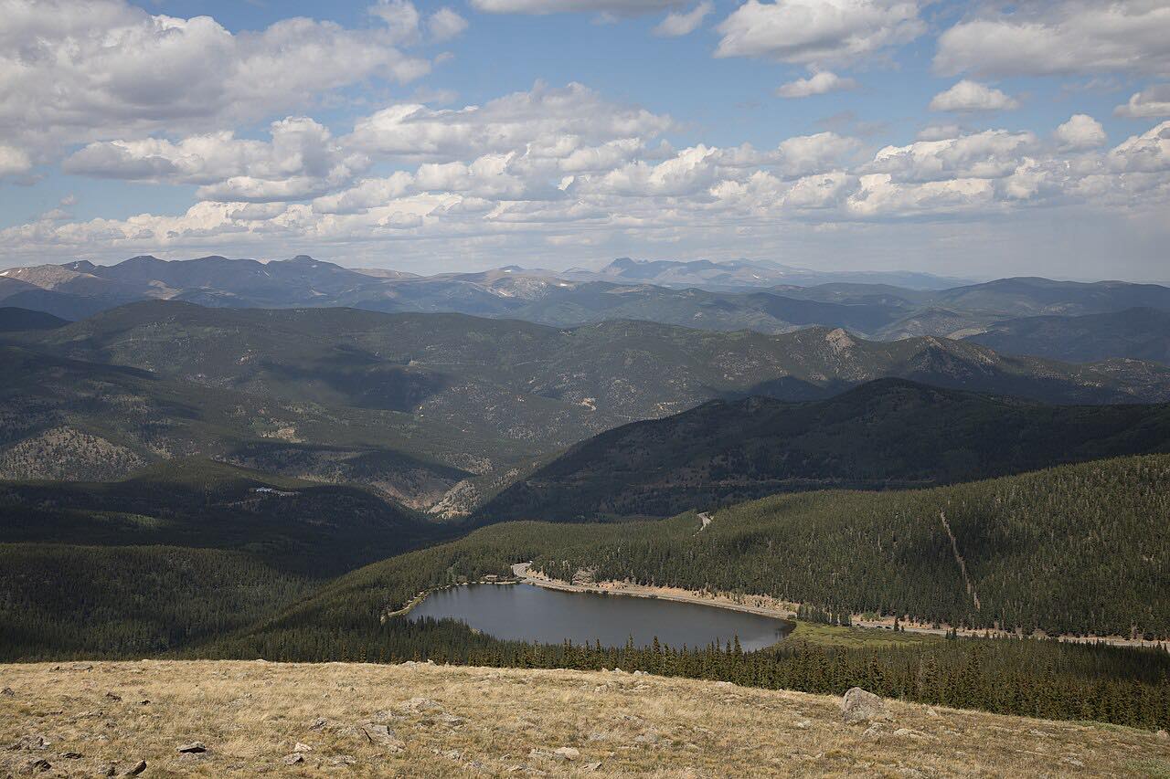
The first five miles are the twistiest, winding up a narrow canyon, and then the road opens to ranch meadows and aspen. The drive gains about 4,400 feet over 18 miles. Panorama Point, an overlook in the park, has views of more than 100 miles of the Continental Divide.
At the Peak to Peak end you can turn north or south on the byway, or head back down to Golden.
Along the way
- Golden (CO-93)
- Golden Gate Canyon State Park
- Peak to Peak Highway (CO-119)
Good to know
- Golden Gate Canyon State Park charges a daily vehicle fee for entry. Call the park at 303-582-3707 if you only plan to drive through.
- Day use is 5 a.m. to 10 p.m.
- Road paving projects on Highway 46 and Crawford Gulch Road have caused delays, so check before you go.
Open all year, weather permitting. Roads close for snow, fire, storms and repairs: before you set off, check Colorado Parks and Wildlife: Golden Gate Canyon State Park.
Questions about this drive
How long does Golden Gate Canyon Road take to drive?
Golden to the Peak to Peak Highway on Golden Gate Canyon Road is 18 miles and takes about 30 min.
Is there a fee on Golden Gate Canyon Road?
The road passes through Golden Gate Canyon State Park, which charges a daily vehicle pass. Check with the park about driving through without stopping.
Where does Golden Gate Canyon Road start?
It starts at Highway 93 about 1.5 miles north of Golden and ends at the Peak to Peak Highway, CO 119.
What you get in the app
Free on iPhone and Android. CarPlay and Android Auto come with Apex.
More drives near here




Distance, time, elevation, curves and intensity are from Carve's route. Checked 2026-10-28.