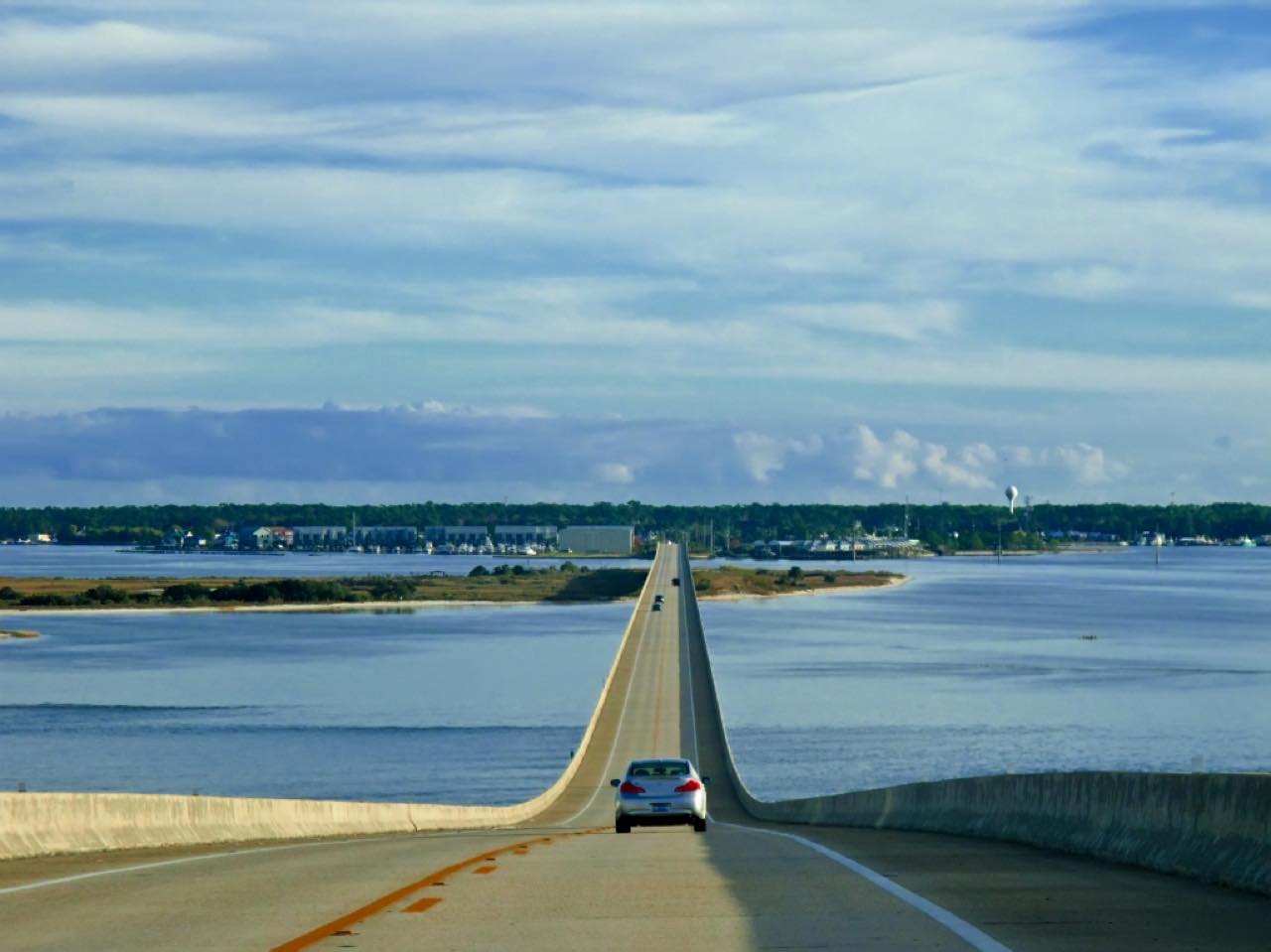

The drive
Highway 193 is the only road to Dauphin Island. This drive starts at Theodore, in southern Mobile County, and runs south on Dauphin Island Parkway through low country and fishing communities toward Mississippi Sound. The road is flat and easy, 18.7 miles in about 25 minutes, and its draw is the water on both sides as you leave the mainland.
The Dauphin Island Bridge carries the road about three miles over the sound onto the barrier island. On the island, Highway 193 meets Bienville Boulevard at a T near the water tower. East on Bienville are Fort Gaines, the Civil War fort at the island's eastern tip, and the Audubon Bird Sanctuary with three miles of trails. West are the beaches. A guide to the island notes it has no traffic lights.
Highway 193 itself continues to the Fort Morgan ferry landing on the east end of the island, a few miles past where this drive stops.
Along the way
- Theodore (Highway 193)
- Dauphin Island
Good to know
- The Dauphin Island Bridge is under a multi-year rehabilitation, so expect lane shifts and one-lane flagging at times; check ALDOT before you go.
- Big island events such as the Deep Sea Fishing Rodeo bring heavy traffic over the bridge.
- The Fort Morgan ferry leaves from the east end of the island, past where this drive ends.
Open all year, weather permitting. Roads close for snow, fire, storms and repairs: before you set off, check ALDOT news: Dauphin Island Bridge.
Questions about this drive
How long does Highway 193 to Dauphin Island take?
Highway 193 from Theodore to Dauphin Island is 18.7 miles and takes about 25 minutes, more when bridge lane closures or beach traffic slow it down.
Does Highway 193 to Dauphin Island connect to a ferry?
Yes. Highway 193 runs to the east end of Dauphin Island, where the Fort Morgan ferry crosses the mouth of Mobile Bay.
How long is the Dauphin Island Bridge?
ALDOT describes the Dauphin Island Bridge on Highway 193 as 3.45 miles long, and it opened in 1982.
What is there to see at the end of Highway 193 on Dauphin Island?
Highway 193 meets Bienville Boulevard on the island. To the east are Fort Gaines and the Audubon Bird Sanctuary; to the west are the public beaches.
What you get in the app
Free on iPhone and Android. CarPlay and Android Auto come with Apex.
More drives near here


Distance, time, elevation, curves and intensity are from Carve's route. Checked 2026-10-28.