
Drives Victoria, Australia Gippsland and the Mornington Peninsula
Cann River to Mallacoota
Princes Highway, A1, Mallacoota Road · Cann River → Mallacoota

The drive
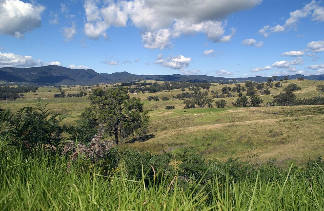
This drive runs 70 km (43 mi) from Cann River, where the Princes Highway meets the Monaro Highway, east to Genoa, then on the Mallacoota-Genoa Road to Mallacoota. It passes through East Gippsland forest, with Croajingolong National Park nearby, and ends at the lakeside town.
Genoa is a small settlement, 66 residents at the last census, where the Princes Highway crosses the Genoa River; it is an important access point to Croajingolong. Genoa Peak, in the park, has a 1.5 km one-way walk, moderate to steep, with a summit view to Mallacoota Lake. Mallacoota is the last official township on Victoria's east coast, on Mallacoota Inlet, made up of Top Lake and Bottom Lake and surrounded by Croajingolong.
The bushfires of 2019 and 2020 reached Mallacoota and damaged Genoa. The drive climbs about 3,100 feet, and the curves are mostly gentle with one twisty stretch.
Along the way
- Cann River (Princes Highway)
- Genoa
- Mallacoota (Mallacoota-Genoa Road)
Good to know
- Services between the two ends are limited: Genoa has only 66 residents, so fill up beforehand.
- Upgrade and repair works on the Mallacoota-Genoa Road can cause delays, so check VicTraffic before you go.
- Mallacoota is about 25 km off the Princes Highway and is one of Victoria's most isolated towns.
Open all year, weather permitting. Roads close for snow, fire, storms and repairs: before you set off, check VicTraffic.
Questions about this drive
How long does the drive from Cann River to Mallacoota take?
The drive from Cann River to Mallacoota is 70 km (43 mi) and takes about 55 minutes without stops.
How far is Mallacoota from the Princes Highway?
Mallacoota is about 25 km off the Princes Highway, reached by the Mallacoota-Genoa Road from Genoa.
What is there to do in Mallacoota?
Mallacoota sits on Mallacoota Inlet, surrounded by Croajingolong National Park. It is the last official township on Victoria's east coast.
Are there roadworks on the Mallacoota-Genoa Road?
Upgrade and repair works happen from time to time. Check VicTraffic before you go.
What you get in the app
Free on iPhone and Android. CarPlay and Android Auto come with Apex.
More drives near here


Distance, time, elevation, curves and intensity are from Carve's route. Checked 2026-10-28.